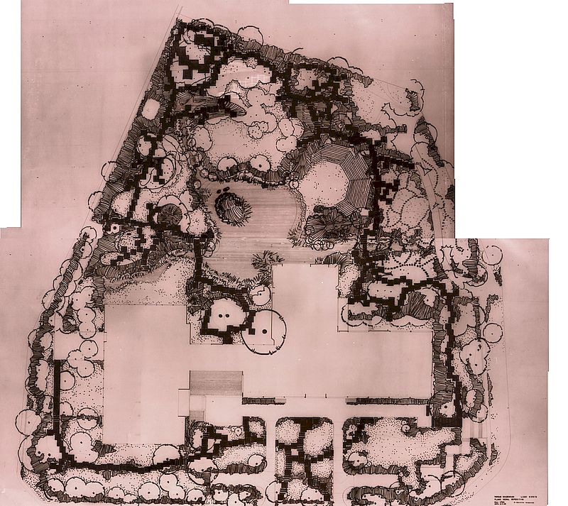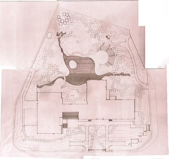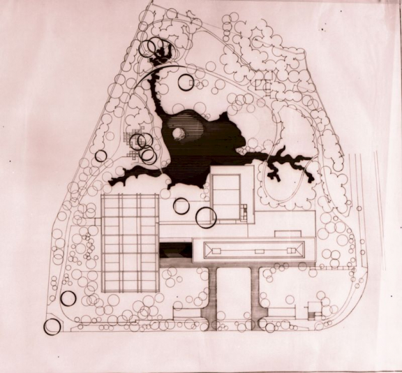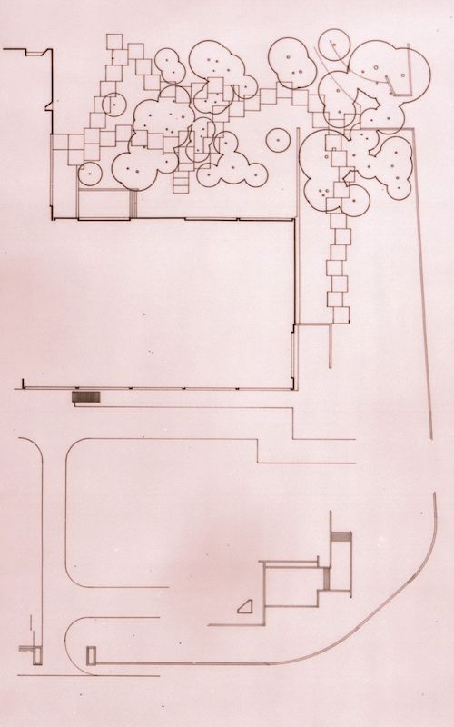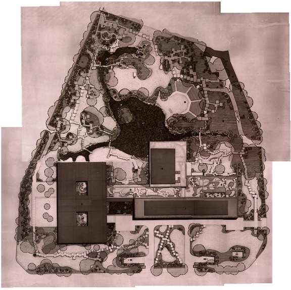
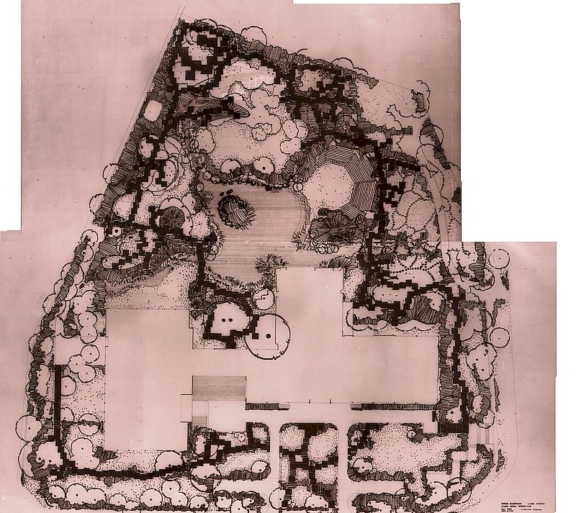
Definitive General Plan I – 1969
This document is the assembly of Partial Blueprints [i]
One of the elements that link the Gulbenkian Garden to the modern movement is undoubtedly the layout of the path system. This feature results both from the way this layout is drawn and from the way it is materialized: large concrete frames, irregularly juxtaposed, that shape the ground. This trajectory breaks the linearity of the reading of the space, introducing multiple views, depths, movements, folds and constant surprises. In the same logic, there are defined areas of path and sociability, and spaces of intimacy and isolation.
A careful analysis of the different phases of the park project process [ii] reveals that the initial layout system proposed, especially in the southern area of the Park, is modelled on that of the Santa Gertrudes Park path system.
A detailed study of this layout took place during the year 1968[iii], at a later stage of the process. On September 10, 1969, it was completed.
[i] General Plan – Definitive – North Side
[iii] Provisional Solution C – Modelling / Deployment
Definitive Solution A – Modelling/Implementation
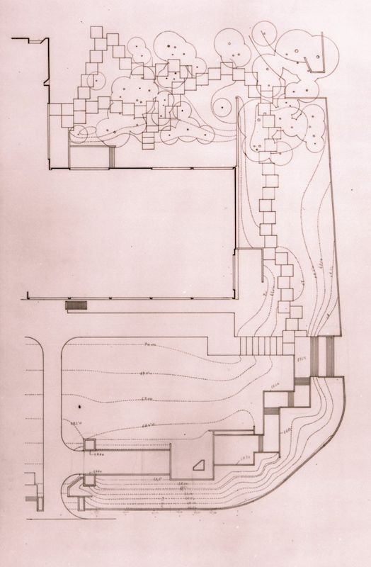
Topographic plan of the North east boundaries of Gulbenkian Park
Definitive General Plan with level curves
Definitive General Plan with level curves
Definitive General Plan II – 1969
- Production date: 1969
- Designers (main authors): TELLES, Gonçalo Pereira Ribeiro
- Contributors (co-authors): FCG – Serviço de Projectos e Obras
- Project phase: Do projeto de execução à obra (1963-1969)
- Temporal coverage: 1969
- Type of data: Image
- Extension format: 1 desenho
- Media format: jpg
- Keywords: technical design
