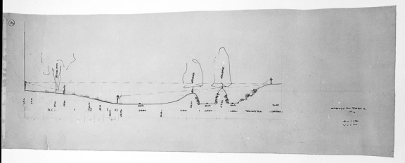
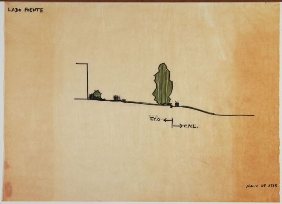
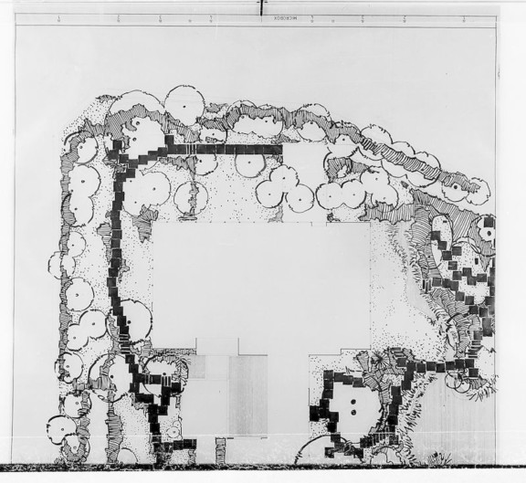
Study of different types of Borders to be defined in the Gulbenkian Park – West Side
This design document is part of a set of [i] studies developed following the floods in Lisbon in November 1967.
The floods affected the whole of Gulbenkian Park. It was thus necessary to take precautions against future events, especially since some of the works that had been carried out in the Praça de Espanha and announced for the Avenida de Berna by the City Council would make the situation worse.
In May 1968, Ribeiro Telles undertook a set of studies for the limit typology to be used on the east, west, and north fronts of the park. In the proposal presented in 1961, as in the Project Review there was no provision for the construction of a wall to delimit the park.
These studies led to the decision to build a wall with a slope. The wall and slope [ii] worked as a dam that would protect the entire area from future floods.
The proposed wall used the stones of the walled boundary of Santa Gertrudes Park.
At the end of 1968, the park’s fence solutions were established and construction started in April 1969.
[i] Study of different types of borders to be defined in the Gulbenkian Park – Rising Side I
Study of different types of Borders to be defined in the Gulbenkian Park – Rising Side II
Study of different types of Borders to be defined in the Gulbenkian Park – Northern Side
Study of different types of Borders to be defined in the Gulbenkian Park – West Side, access
- Production date: 05/1968
- Designers (main authors): TELLES, Gonçalo Pereira Ribeiro
- Project phase: Do concurso ao anteprojeto
- Temporal coverage: 1968
- Type of data: Image
- Extension format: 1 desenho
- Media format: jpg
- Keywords: framing, inert coating, limit, living coating, section, section, shrub, sketch, tree
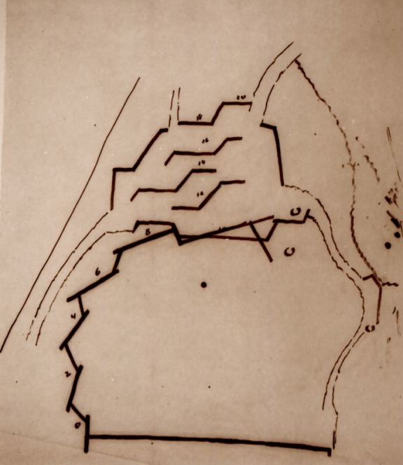
Related documents
Excerpt from the drawing of pathways to the east
Excerpt from the drawing of pathways to the east
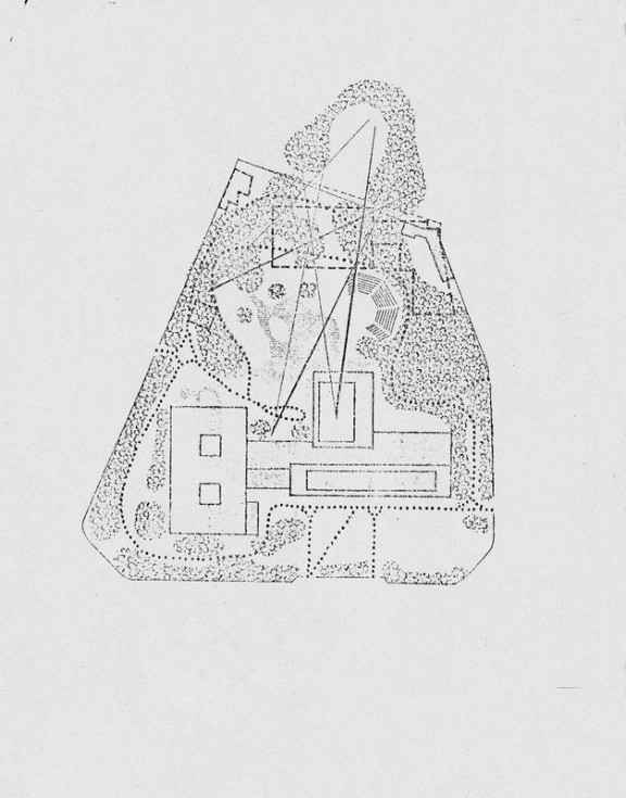
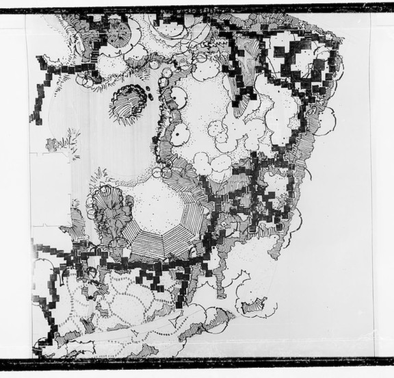
Modern Art Centre – Study of Visual Relations to be Preserved
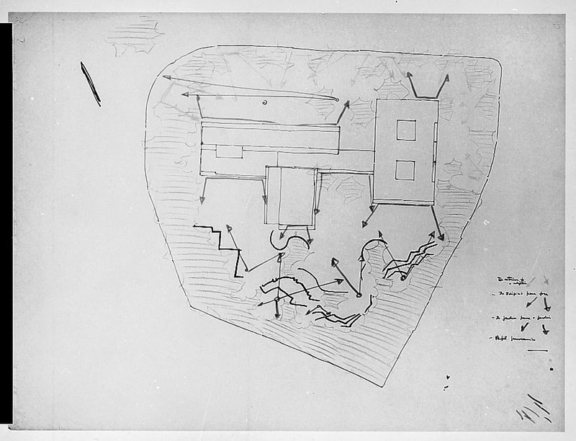
Study of the visual relations to be prioritized between the garden – building – exterior