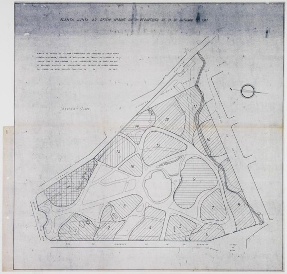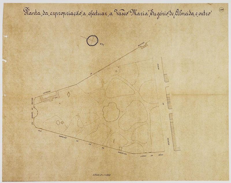
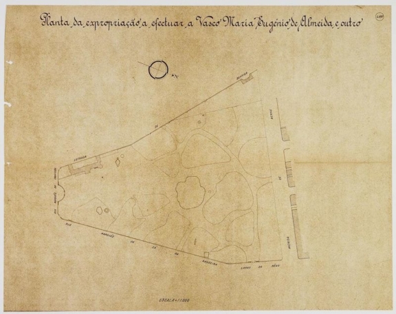
Plan of the expropriation of Vasco Maria Eugénio de Almeida’s land for the expansion of Avenida António Augusto de Aguiar
Plan of the area to be expropriated of the Santa Gertudes Park due to the enlargement of the Av António Augusto de Aguiar.
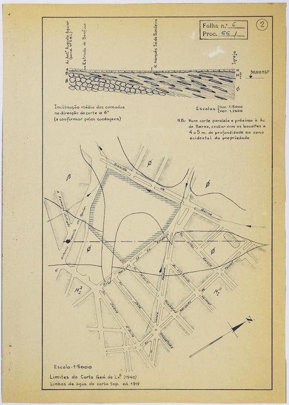
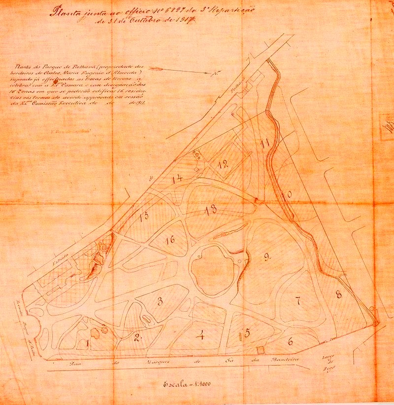
The expropriations determined by the 1888 Lisbon Plan of Urbanization (especially from 1891 when the law of 9 August allowed the City Hall to use coercive measures in the land domain) generated a dispute between the descendants of José Maria Eugénio de Almeida and Lisbon City Hall, since the layout of the António Augusto de Aguiar Avenue, in its final section, involved the deviation of the west wall, on the former Palhavã road, which determined the expropriation of a triangular shaped parcel of land to the west of the Park.
The meeting minutes drawn up on 31 December, 1917 record the solution that was found to resolve the dispute between the City Hall and Vasco Maria Eugénio de Almeida.
- Production date: 1917
- Designers (main authors): CÂMARA MUNICIPAL DE LISBOA
- Project phase: Do caráter do lugar
- Identifier: PT FCG FCG:SCT/02-DES00027
- Temporal coverage: 1917
- Type of data: Image
- Extension format: 1 desenho
- Media format: jpg
- Keywords: register
In order to consult the original version of this document you should contact the Gulbenkian Archives by e-mail [email protected] and refer the document´s ID