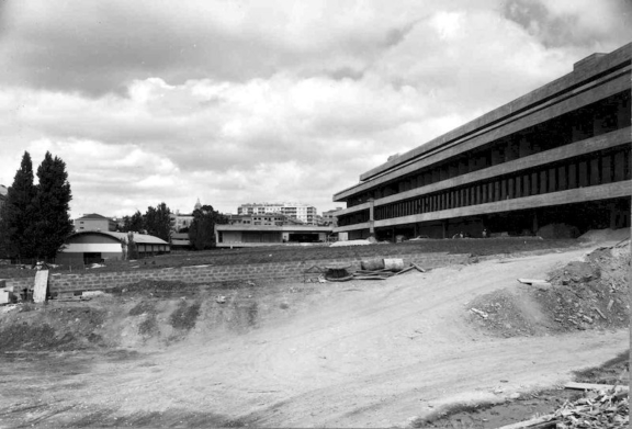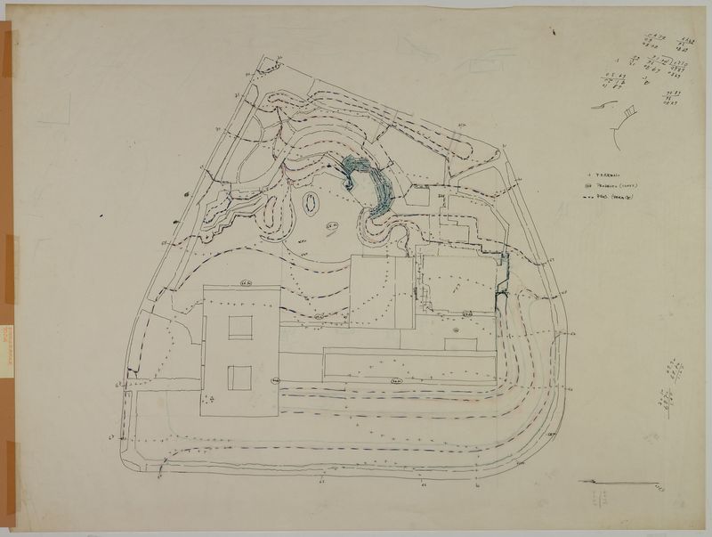
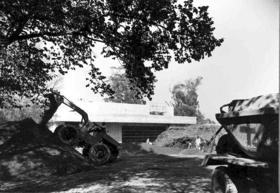

Study on the Modelling of the Terrain
According to the tender programme, this terrain modeling study seeks to respond to the interior-exterior continuity guidelines to be prioritised between the garden, buildings and neighbourhood.
This study, together with another sketch in which the space and visual continuity are connected to the terrain, contributes to the definition of the “Main Views” presented in 1961 during the Preliminary Draft phase.
This sketch illustrates how the terrain was understood as the base (the skeleton) of the whole garden.
Two areas were defined:
– To the north and east and near the southern façade of the museum and the large auditorium, the land slopes gently creating an approach to the building as well as establishing continuity between the interior and exterior.
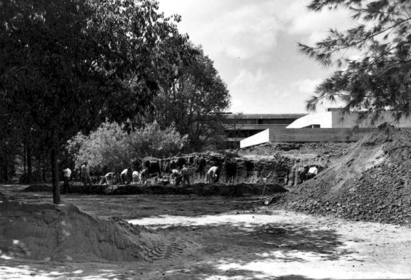
– At the southern and western edges, the terrain is rougher and more dramatic due to the presence of terraces which are planned to coincide with the shape of the terrain [i].
This terrain determines the composition because it dictates the different spatialities, clearing/woods, light/shadow, exposure/seclusion that compose the garden [ii].
[i] Profile of a large pyramidal shaped cage
[ii] Front Elevation – Amphitheatre
- Production date: 1962
- Designers (main authors): TELLES, Gonçalo Pereira Ribeiro
- Project phase: Do concurso ao anteprojeto
- Temporal coverage: 1962
- Type of data: Image
- Extension format: 1 desenho
- Media format: jpg
- Keywords: altimetry, modelling, sketch, system, topography